
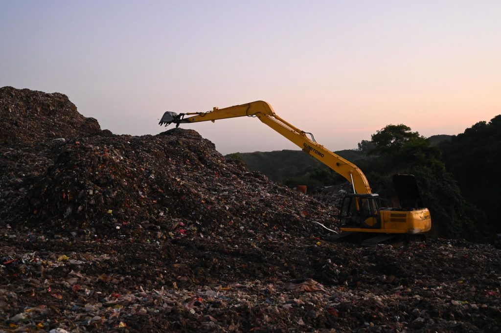
Waste landfills, green roofs, ponds: geomembrane and plate integrity survey
Our company performs leak detection survey of geomembranes and plates with an internally developed device. It can identify defects, damages occurred during construction, operation or manufacturing.
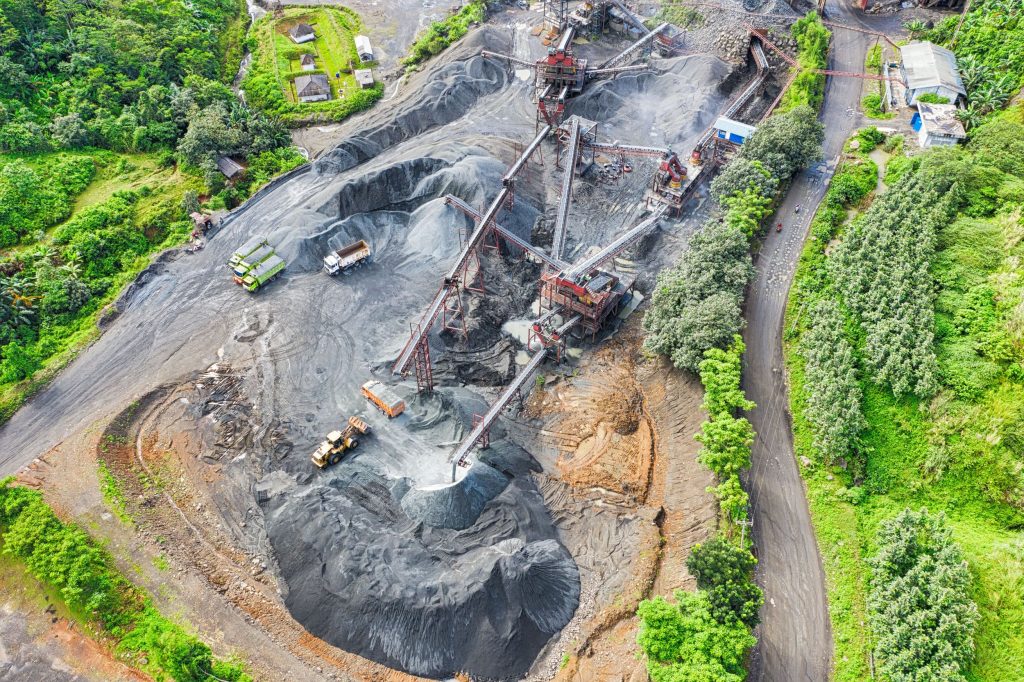
Geoelectric surveys can be applied to outline the mining areas before exploitation, to determine the expansion area during exploitation, to assess available reserves and to support economic assessment during planning.
Investigation of subsurface contamination: soil pollution, subsurface water contamination
Geoelectrical surveys can be applied to determine the location of contaminated area if the electrical conductivity of the surrounding environment and the pollution is different.
Survey of river embankments (flood control): determination of cracks, tracks
Our internally developed geophysical device is suitable for non-destructive testing of earthworks, embankments.
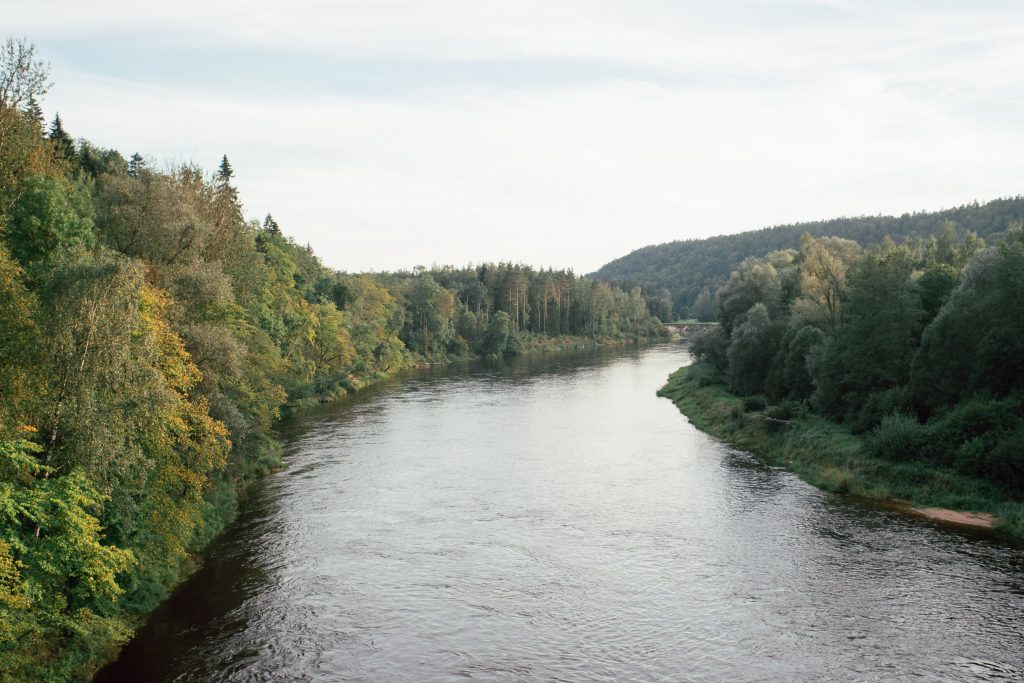
Determination of ground-water flow’s direction
Near water table monitoring wells, with geoelectrical survey the parameters of ground-water flow can be determined, thus the flow and speed of potential contamination in the soil can be defined.
Geophysical survey of drainage basins
The aim of the geoelectrical survey is to understand the geological structure, to determine the cover layer and changes in the soil structure, to observe the layers vertically and horizontally.
Geoelectrical surveys are widely applied when non-destructive testing of the subsoil is needed.